

The Nigerian Institution of Surveyors (NIS) and Prof. Chinedu Nebo have urged Federal Government to embrace Geospatial Intelligence (GEOINT), to address environmental and developmental challenges facing the the country
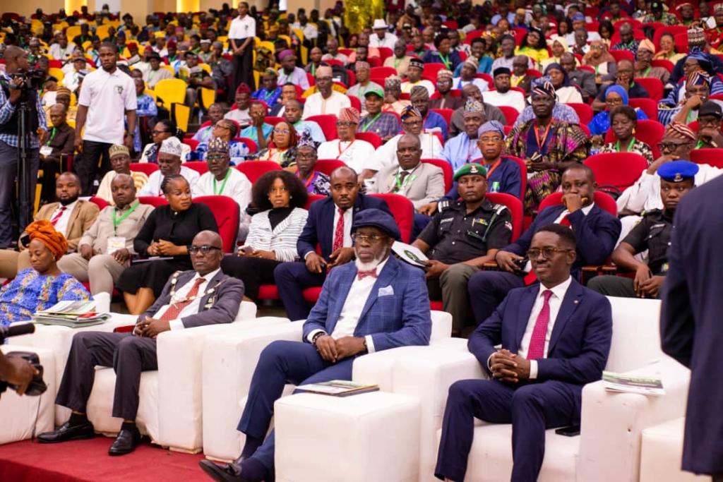
They made the call during the Institution’s 59th Annual General Meeting and Conference, held at International Conference Centre, Enugu on Tuesday.
The event which brought together surveyors across the Nigeria was themed “Harnessing Geospatial Intelligence in the New World: Innovations and Opportunities for Sustainable Development,”
The GEOINT is intelligence about human activity on earth derived from the analysis of imagery, signals or signature, combined with geospatial information and crucial in mapping, navigation and urban planning.
Speaking, the President, NIS,
Dr Matthew Ibitoye, said as the global community confronts issues such as climate change, rapid urbanization, resource depletion, and public health crises, the strategic application of GEOINT presents immense opportunities.
According to him, it present them with opportunities for informed decision-making, effective planning and sustainable development.
This, he said, directly aligns with the United Nations Sustainable Development Goals (SDGs) and the collective desire to build resilient societies.
He pointed out that was time for Nigeria to establish a coordinated National Geospatial Data Infrastructure (NGDI) in line with global best practices.
“Such a framework will significantly support the actualisation of President Bola Tinubu’s seven -point agenda-especially in infrastructural development and position geospatial intelligence as a key enabler of national progress.
“Once confined to military use, geospatial intelligence has now become indispensable across civilian sectors-governance, urban planning, agriculture, environmental management, disaster response and beyond,” he said.
The president disclosed that high technology costs, data gap, shortage of skilled personnel and concerns about data privacy limit its wider adoption.
“To address these barriers, there must be sustained investments in infrastructure, capacity building and cross-sector collaboration,” he said.
He thanked Gov. Peter Mbah for hosting the event and establishing Enugu State Geographic Information Service (ESGIS) with the procurement of modern geospatial data technologies in the Office of the State Surveyor-General.
Ibitoye equally appealed to Federal Government to reconstitute the Surveyors Council of Nigeria (SURCON), dissolved since 2023, which he said, hinders the council from performing its statutory functions.
In a keynote address, the former Minister of Power, Prof. Chinedu Nebo, said Nigeria needed GEOINT for remodeling and sustainable development.
He added that the adoption of GEOINT would ensure infrastructural planning, improvement in agriculture and ensures food security as well as address climate change challenges.
Declaring the event open, Mbah, represented by the Secretary to the State Government, Prof. Chidiebere Onyia, said the conference would shape the future of the country’s environment, development and national planning system.
“This is why we hold your profession in the highest regard. From the onset of this administration, we prioritise the strengthening of our surveying institutions.
“The Office of the state Surveyor General has been repositioned to drive innovation, accuracy, and professionalism. One of the landmark interventions have been the procurement of a real-time drone instrument,” Mbah said.